Sports hike – Le Muy – L’Endre et le moulin de Gournié
Sports hike – Le Muy – L’Endre et le moulin de Gournié Distance: 10 km Duration: 3h30 Difficulty: Difficult Elevation: 250 m From Le Muy, go onto the RD25 road
Sports hike – Le Muy – L’Endre et le moulin de Gournié Distance: 10 km Duration: 3h30 Difficulty: Difficult Elevation: 250 m From Le Muy, go onto the RD25 road
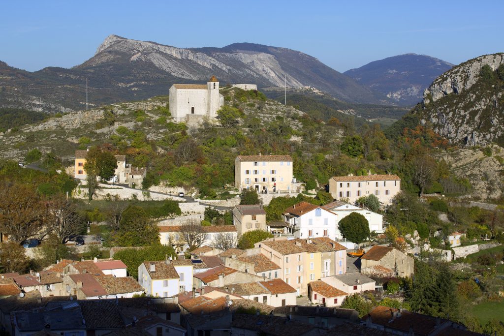
Sports hike – Les Arcs sur Argens – Castel Diaou Distance: 12.2 km Duration: 4h30 Difficulty: Difficult Elevation: 390 m Park at La Tournavelle (1), between the Argens bridge, and
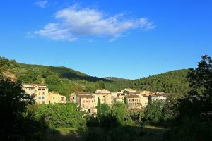
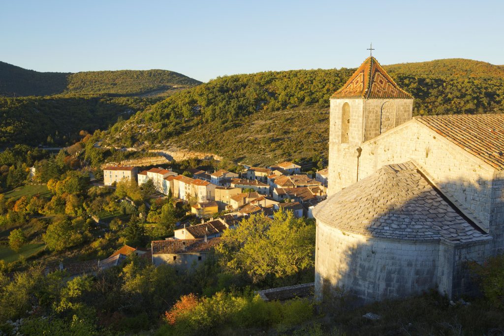
Family walk – Montferrat – Notre Dame de Beauvoir Distance: 2.9 km Duration: 2h / 2h30 Difficulty: Easy Elevation: 250 m Carpark at the entrance of the village, above the