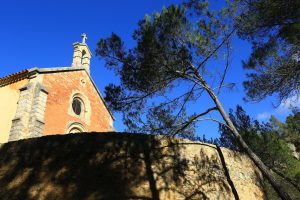
Sports hike – Le Muy – L’Endre et le moulin de Gournié
Sports hike – Le Muy – L’Endre et le moulin de Gournié Distance: 10 km Duration: 3h30 Difficulty: Difficult Elevation: 250 m From Le Muy, go onto the RD25 road
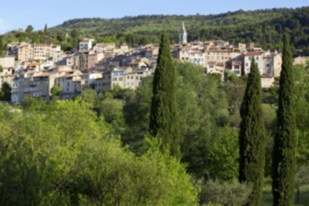
Sports hike – Le Muy – L’Endre et le moulin de Gournié Distance: 10 km Duration: 3h30 Difficulty: Difficult Elevation: 250 m From Le Muy, go onto the RD25 road
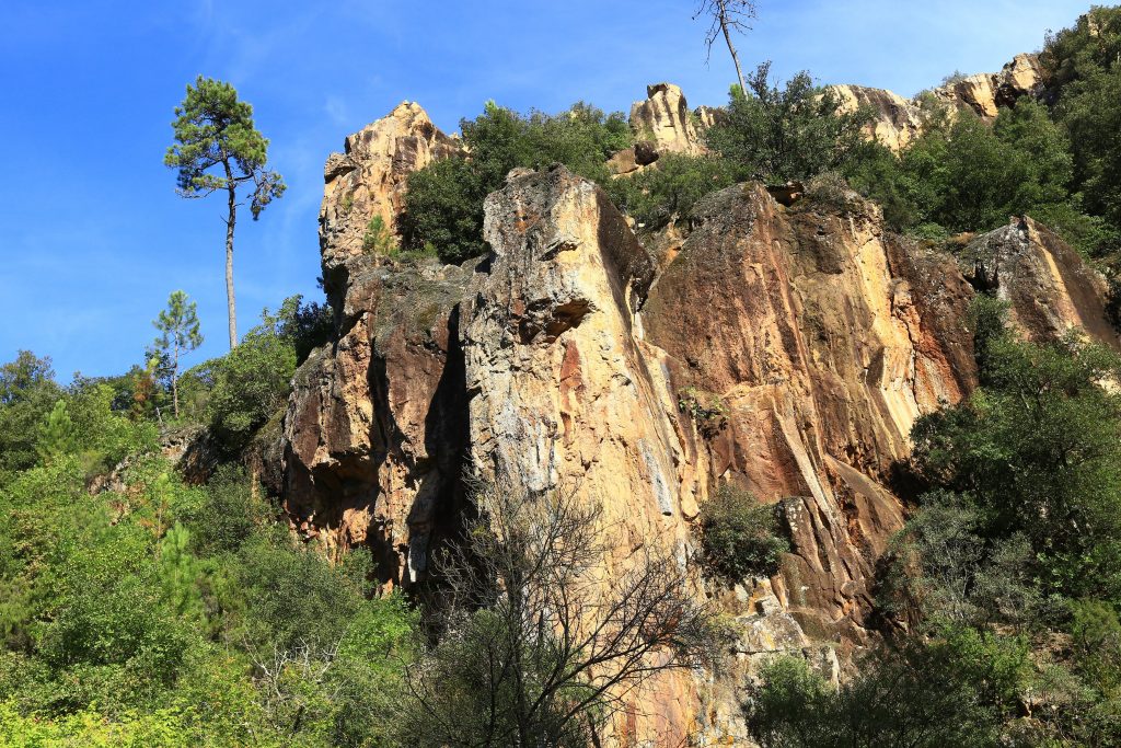
Hiking – Salernes – Le Tholos de la Lauve Distance: 4.4 km Duration: 1h15 Difficulty: Medium Elevation: 208 m Carpark: La Muie. Retrace your steps to Parouvier round about (1).
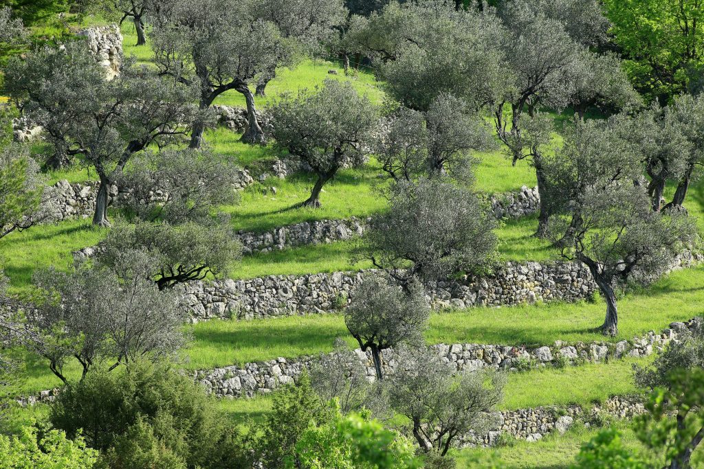
Family walk – Les Arcs sur Argens – l’Apié de Raybaud Distance: 3.7 km With variant: 4.2 km Duration: 1h40 Difficulty: Easy Elevation: 100 m Follow South the tarmac road.