Sports hike – Le Muy – L’Endre et le moulin de Gournié
Sports hike – Le Muy – L’Endre et le moulin de Gournié Distance: 10 km Duration: 3h30 Difficulty: Difficult Elevation: 250 m From Le Muy, go onto the RD25 road
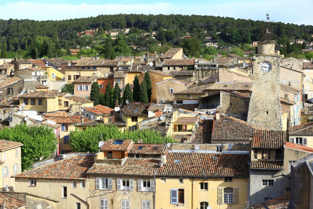
Sports hike – Le Muy – L’Endre et le moulin de Gournié Distance: 10 km Duration: 3h30 Difficulty: Difficult Elevation: 250 m From Le Muy, go onto the RD25 road
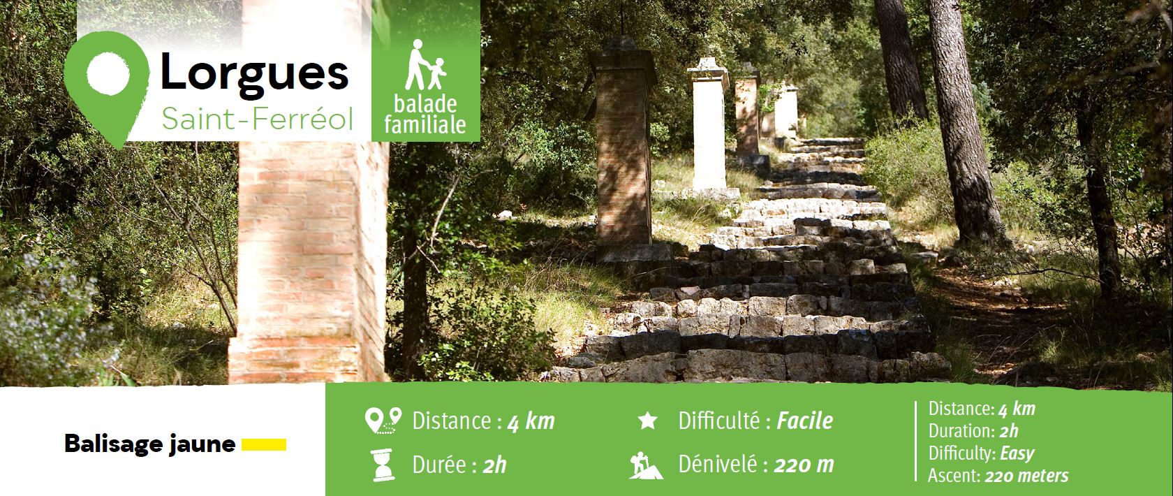
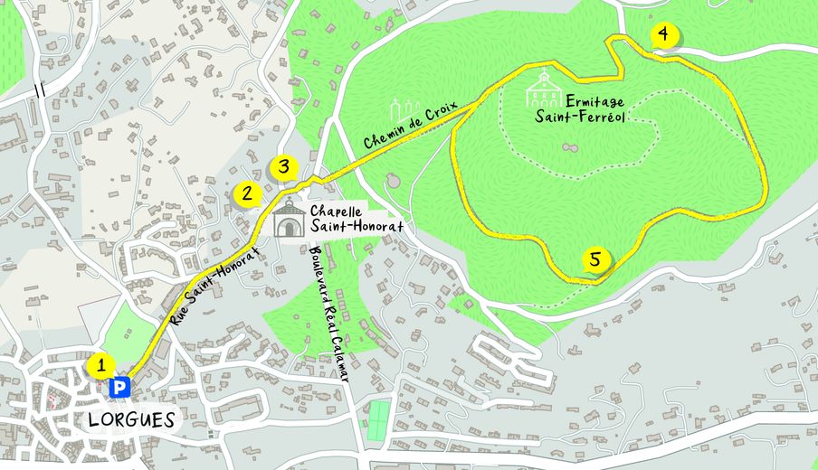
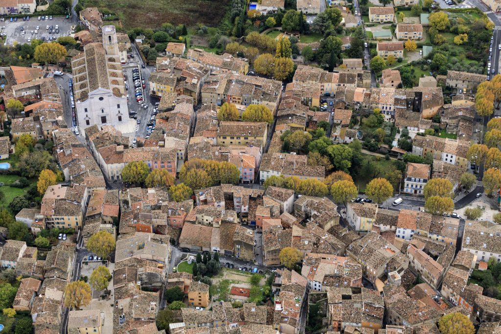
Family walk – Figanières – La Voie Romaine Distance: 9 km Duration: 3h Difficulty: Easy Elevation: 200 m Parking Saint-Joseph entrance of the village on the left (1). Facing the
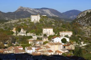
Family walk – Comps-sur-Artuby – Boucle de Siounet Distance: 2.8 km Duration: 1 hour Difficulty: Easy Elevation: 100 m Siounet carpark facing SOS signpost RD71 from road n° D71 direction