Family walk – Les Arcs sur Argens – Cabredor
Family walk – Les Arcs sur Argens – Cabredor Distance: 8.2 km Duration: 2h30 Difficulty: Easy Elevation: 150 m Park at La Tournavelle (1), between the Argens bridge, and the
From Malmont carpark, cross the road (1) follow the purple/white trail alongside the blue trail for 100 m.
(2) Turn left and walk down the track for about 400 m. (3) go on medieval way for 200 m.
(4) Turn left as you join a former quarry road trail: it heads up for 400 m.
(5) Go back onto the main track as it goes up to the top of Malmont hill.
(6) Follow the track downhill for 200 m (7) turn left and down the slope for 300 m, (8) at the junction go straight ahead for 200 m.
(9) Skirt around to the left and (10) cross over the track.
Dolomitic lime soil (11) be careful this area requires attention.
(12) You can either take right and go to the cedar forest or keep following the track up to the watch tower and (13) down to the viewpoint indicator.
Ball-trap on thursday afternoon, saturday, sunday morning.
Family walk – Les Arcs sur Argens – Cabredor Distance: 8.2 km Duration: 2h30 Difficulty: Easy Elevation: 150 m Park at La Tournavelle (1), between the Argens bridge, and the
Hiking – Les Arcs sur Argens – Les menhirs des Terriers Distance: 11.3 km Duration: 4h40 Difficulty: Medium Elevation: 350m Download Park at La Tournavelle, between the Argens bridge, and
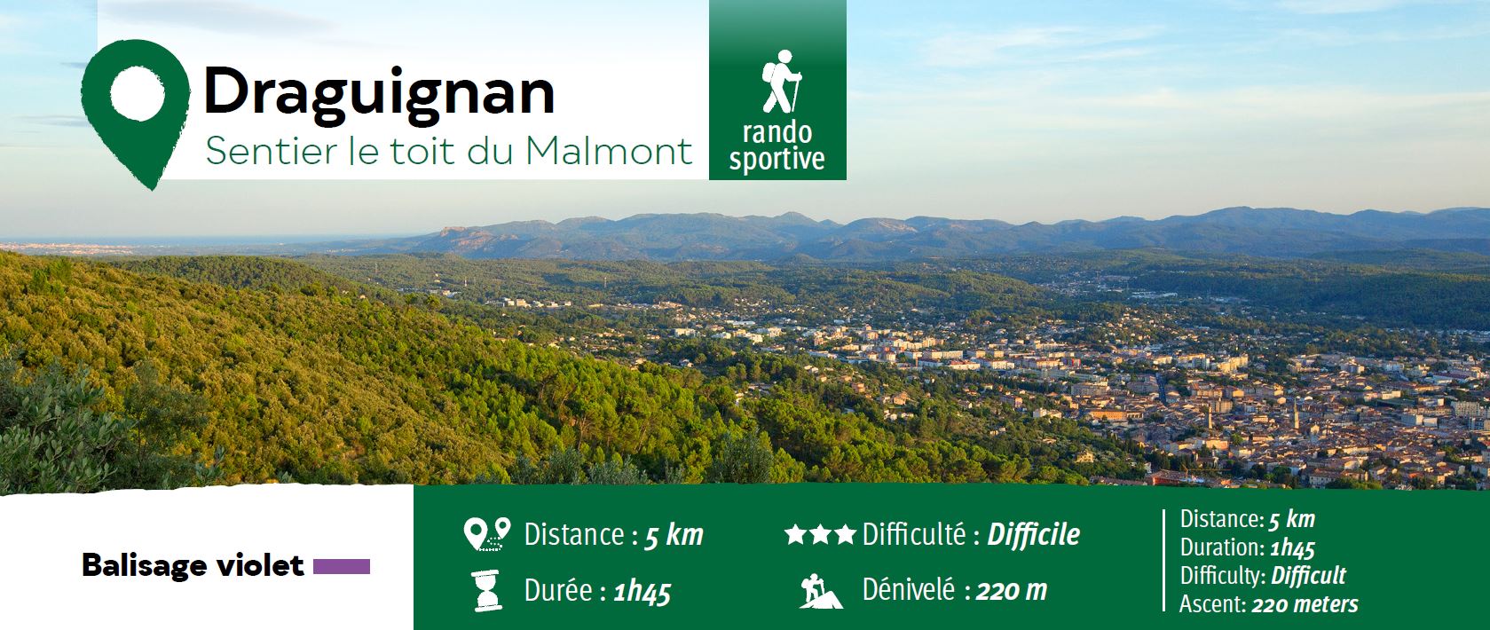
Sports hike – Les Arcs sur Argens – Castel Diaou Distance: 12.2 km Duration: 4h30 Difficulty: Difficult Elevation: 390 m Park at La Tournavelle (1), between the Argens bridge, and