Sports hike – Draguignan – Sentier le toit du Malmont
Sports hike – Draguignan – Sentier le toit du Malmont Distance: 5 km Duration: 1h45 Difficulty: Difficult Elevation: 220 m From Malmont carpark, cross the road (1) follow the purple/white
Carpark on the outskirts of Comps-sur-Artuby village.
(1) From the carpark go onto St-Bayon small uphill street just opposite the town hall. This trail, first well worn turns into an unleveled pathway that takes you into Combasq Wood.
(2) Walk off the Combasq trail. Go onto the pathway that leads uphill to Verjon Gorges.
(3) At “Gorges de Verjon” signpost, carry on to “Fayet 1”. At the junction, you can follow the trail that leads off to your right and goes downhill to Comps-sur-Artuby through
Verjon hamlet
(4) At “Chemin de Fayet” signpost, follow the path as it curves to the right. Soon you reach a road that heads to Comps-sur-Artuby through Verjon hamlet.
(5) Cross the road and follow the pathway heading to Comps-sur-Artuby. It slightly goes downhill.
(6) At “Verjon” signpost, keep heading to Comps-sur-Artuby. The pathway soon turns into a road.
(7) At the road junction, (Chapelle Saint-Didier signpost) head back to the carpark.
Follow direction to Bargème.
Sports hike – Draguignan – Sentier le toit du Malmont Distance: 5 km Duration: 1h45 Difficulty: Difficult Elevation: 220 m From Malmont carpark, cross the road (1) follow the purple/white
Hiking – Les Arcs sur Argens – La Tournavelle Distance: 12.7 km Duration: 4h30 Difficulty: Medium Elevation: 150m Park at La Tournavelle (1), between the Argens bridge, and the Ailles
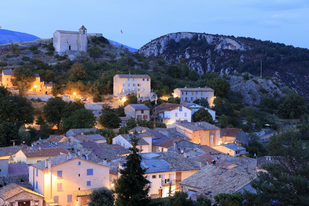
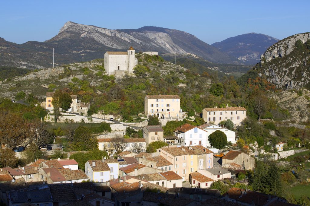
Hiking – La Bastide – Le Lachens 332 / 5 000 Résultats de traduction Distance: 11.2 km Duration: 4 hours Difficulty: Difficult Elevation: 800 m (1) Start from La Bastide church.