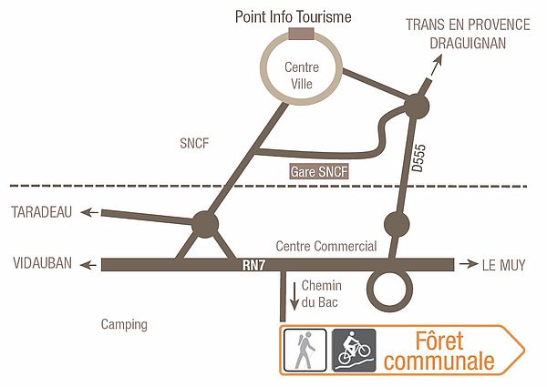
Family walk – Les Arcs sur Argens – Cabredor
Family walk – Les Arcs sur Argens – Cabredor Distance: 8.2 km Duration: 2h30 Difficulty: Easy Elevation: 150 m Park at La Tournavelle (1), between the Argens bridge, and the
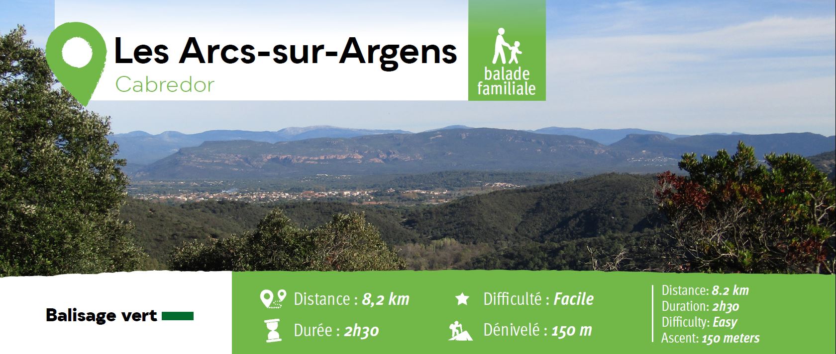
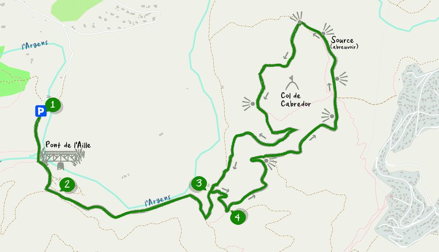
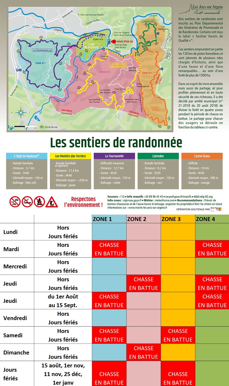
Family walk – Les Arcs sur Argens – Cabredor Distance: 8.2 km Duration: 2h30 Difficulty: Easy Elevation: 150 m Park at La Tournavelle (1), between the Argens bridge, and the
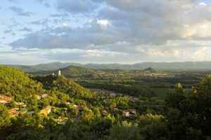
Hiking – Taradeau – l’Oppidum du Fort Distance: 2.5 km Duration: 1h30 Difficulty: Medium Elevation: 100 m The parking is located on the site “Panorama de Taradel” above the village
Digital walk – Trans en Provence – The Calant loop Distance: 1.6 km Duration: 40 min Difficulty: Easy Elevation: 0 m Departure facing the pharmacy, take the stairs then follow