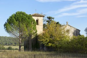
Family outing – Ampus – Notre Dame de Spéluque
Family walk – Ampus – Notre Dame de Spéluque Distance: 8 km Duration: 2h40 Difficulty: Easy Elevation: 150 m GR waymarked trail (yellow orientation arrows) You will find the car
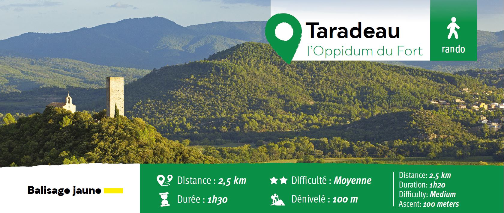
The parking is located on the site “Panorama de Taradel” above the village of Taradeau.
From the parking take the large track direction Les Arcs-sur-Argens until the junction (1).
Turn left on the uphill track to Junction (2) and go up to the top (3)
Take a right to the Oppidum du Fort.
To go back down, take around and along the oppidum through the North and follow the path that descends and reaches the parking lot 600 m

Family walk – Ampus – Notre Dame de Spéluque Distance: 8 km Duration: 2h40 Difficulty: Easy Elevation: 150 m GR waymarked trail (yellow orientation arrows) You will find the car
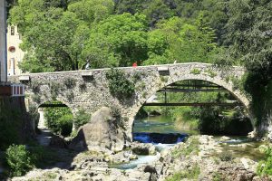
Family walk – Trans en Provence – La Darboussière Distance: 4.5 km Duration: 2h30 Difficulty: Easy Elevation: 200 m Access by road D54 to Draguignan. From the carpark (1).
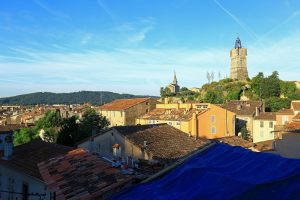
Sports hike – Draguignan – Sentier le toit du Malmont Distance: 5 km Duration: 1h45 Difficulty: Difficult Elevation: 220 m From Malmont carpark, cross the road (1) follow the purple/white