Hiking – Les Arcs sur Argens – La Tournavelle
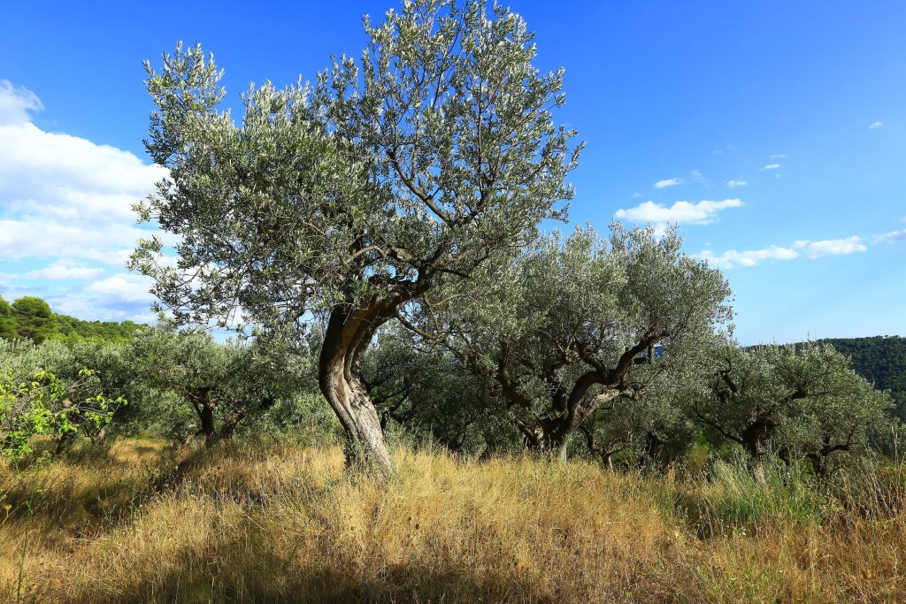
Hiking – Les Arcs sur Argens – La Tournavelle Distance: 12.7 km Duration: 4h30 Difficulty: Medium Elevation: 150m Park at La Tournavelle (1), between the Argens bridge, and the Ailles
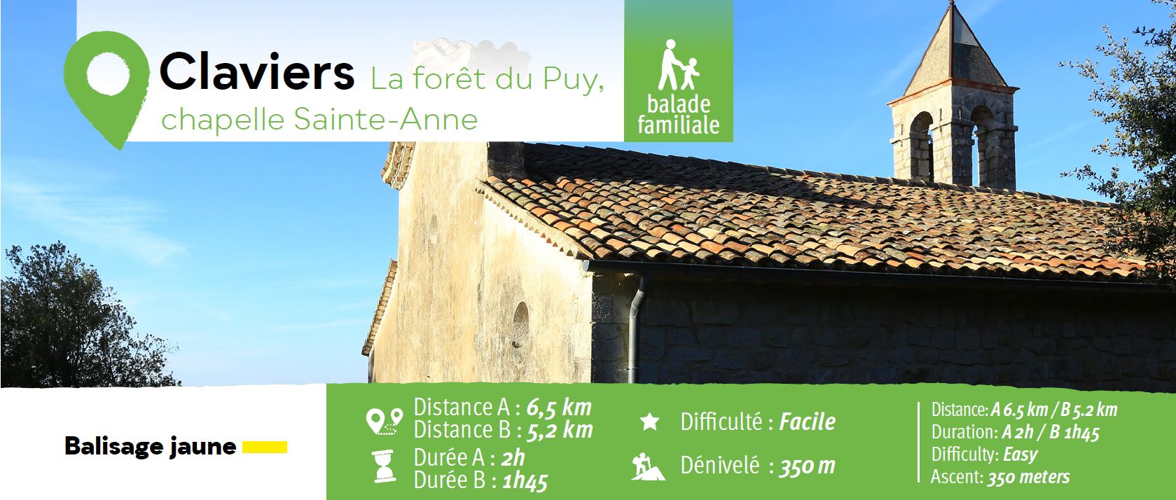
Hiking – Les Arcs sur Argens – La Tournavelle Distance: 12.7 km Duration: 4h30 Difficulty: Medium Elevation: 150m Park at La Tournavelle (1), between the Argens bridge, and the Ailles
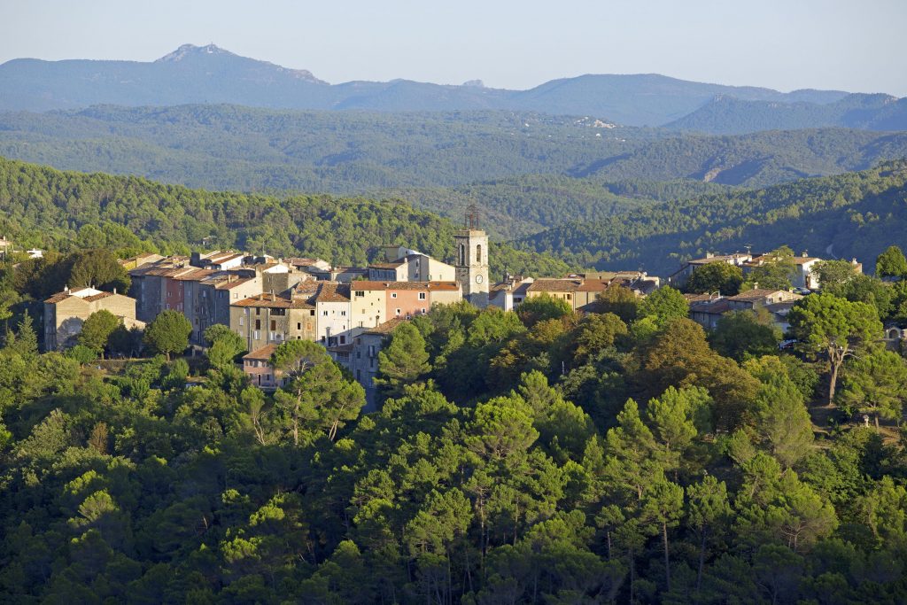
Family walk – Les Arcs sur Argens – Cabredor Distance: 8.2 km Duration: 2h30 Difficulty: Easy Elevation: 150 m Park at La Tournavelle (1), between the Argens bridge, and the
Digital walk – Trans en Provence – The Calant loop Distance: 1.6 km Duration: 40 min Difficulty: Easy Elevation: 0 m Departure facing the pharmacy, take the stairs then follow